Film & Video
From basic captures to pro photography.
Asset Mapping
Scouting strategic sites and land resources.
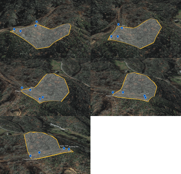
Site ID
ID & explore potential sites and easements.
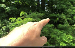
Soil & Plant ID
Species identification & soil sampling.
RuralScout™ Land Insights
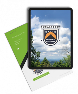
RuralScout's Parcel Insight Reports™ enable buyers to:
Vantage Points
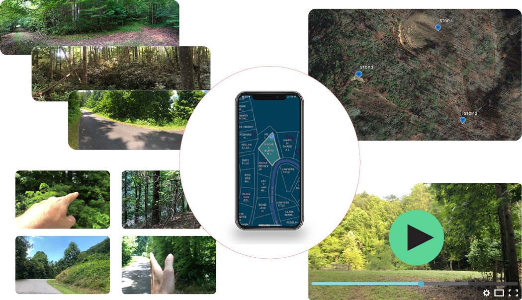
Depending on the size and values your site presents, images and videos are taken from specific vantage points, linked to the corresponding GPS position. Most properties present 3-4 ideal points.

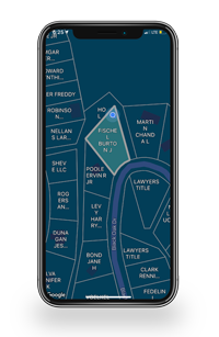
Photo Capture And Video Observations
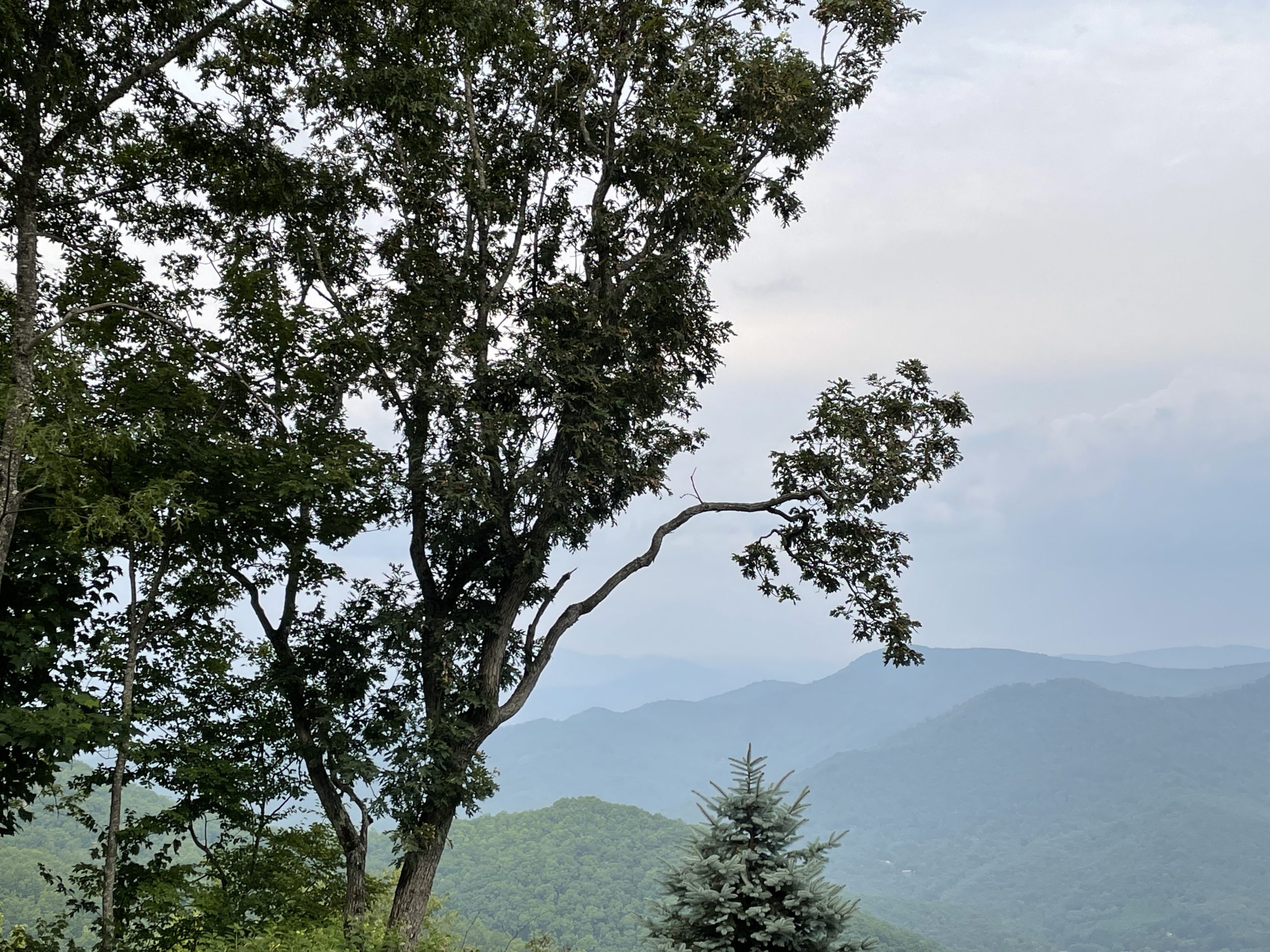
Here your scout collects notes, panoramic and basic photographs and exploration videos launching from each selected vantage point. Captures include the approach, neighboring elements and accessible interior views of each property.
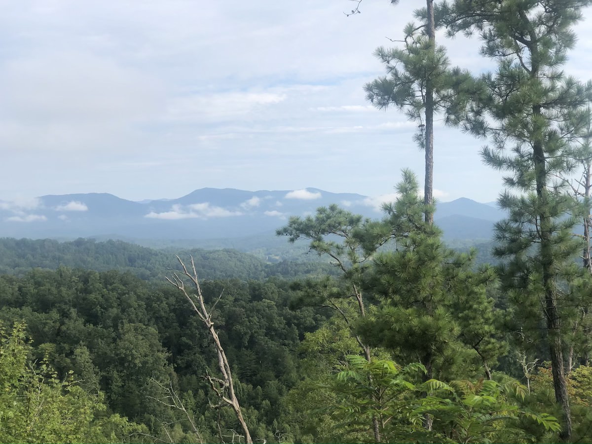
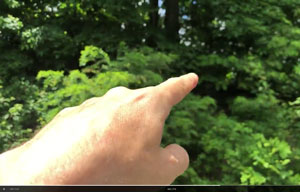
Site Explorations
For Vantage Points that offer access to potential building sites or other areas of interest, site explorations help viewers to visualize building sites, easements and natural resources.
Property Report
Along with a DropBox link to your content, you'll receive a narrative summary from each Vantage Point. This acts as a navigator, helping the viewer connect specific images and video to their corresponding Vantage Points.
Add-on Services
Depending on region, add-on services are available including:
